Local Maps of East Hampton
Maps of beaches and historic district.
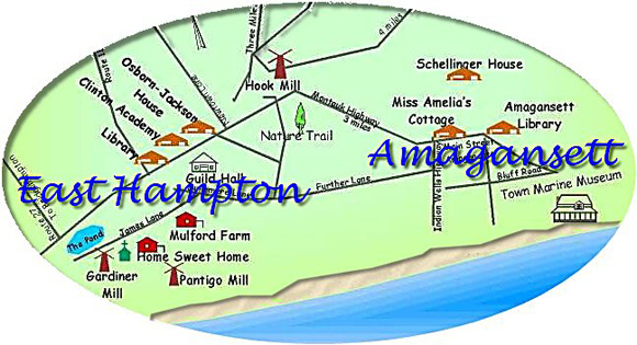
Custom Maps
Historic District
 Click for larger image on history page
Beaches and Camping Grounds
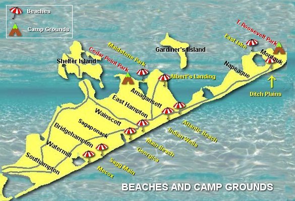 Click for large image on beach page
Detail Map
 Click to enlarge
© 2011 Resort Maps
Click to enlarge
© 2011 Resort Maps
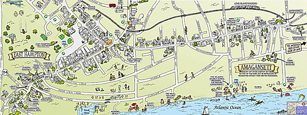
Historic Map
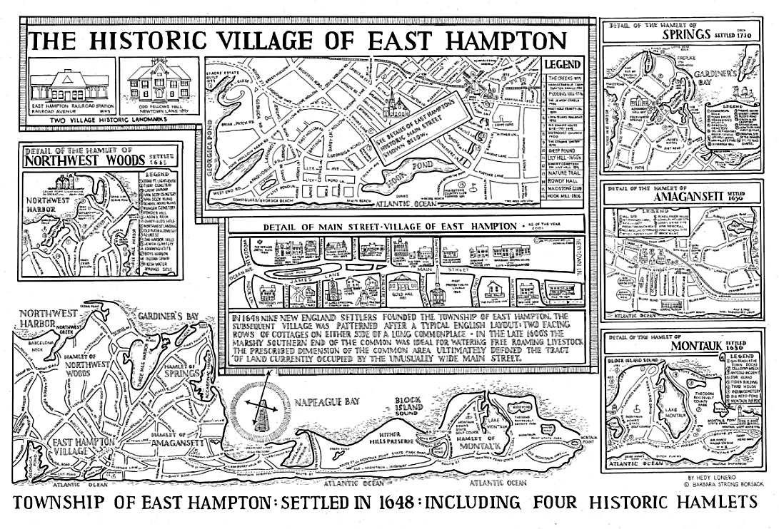 Click to enlarge on the page
or
Zoom in
to see the finer details of the map in a pop-up window © Barbara Borsack
This map can also be purchased at the East Hampton Historical Society.